Waterloo & City Line Map
Updated: January 2025
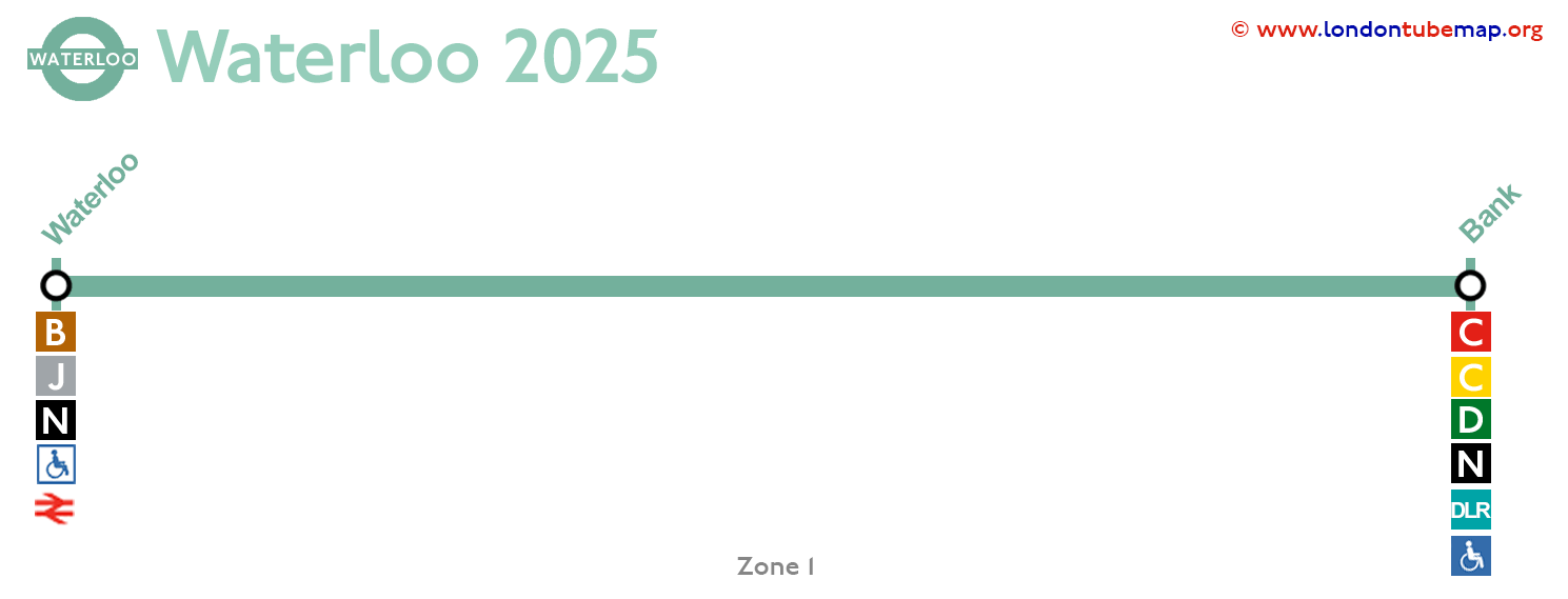
Welcome to the London Waterloo & City Line website, this line has only two stations. It runs between Bank station and Waterloo.
Waterloo & City Line maps
See the stations in the map below, updated January 2025.
Overview of this tube line:
- Opened in 1968.
- Colour: Turquoise.
- Underground.
- 2 stations.
- 2.5 km (1.5 miles) long.
This line of just two stations passes under the River Thames. It's used specifically to carry passengers working in the City of London and the journey lasts three minutes.
Waterloo station has a reputation for sometimes having a "strange smell", contributing to the line being nicknamed "The Drain". Interestingly, a creative version of the London Underground map featured in MyLondon.news attributes the specific scent of peeled potatoes to Waterloo station. This suggests that the smell, while perhaps not a universal experience, has been noted by commuters. The marshy area where Waterloo station is located has a high amount of decomposing organic matter due to the sediments of the Thames over thousands of years.
Interestingly, this is the only line that does not connect directly with the others, and also the only one that runs completely on underground. It is also the only tube line where series, such as BBC's "Survivors", or films, such as "The Tripods" (1984) or "Sliding Doors" (1998) were allowed to be shot.
List of Waterloo & City line stations
Waterloo - Bank
This is the list of all tube stations on the Waterloo & City line, which has a total of only 2 stops.
| STATIONS | ZONE | INFO |
|---|---|---|
| Waterloo | 1 | |
| Bank | 1 |
London tube map | Timetable | Fares | All tube lines